Various industries have increasingly adopted the use of drones in recent years, and this trend is also reflected in the fields of surveying, mapping, and inspection. Drones are unmanned aerial vehicles equipped with sensors, cameras, and GPS systems that enable them to capture high-resolution images and data from a bird’s-eye view. This technology has revolutionized surveying, mapping, and inspection, providing more efficient, accurate, and cost-effective solutions than traditional methods.
One of the significant advantages of using drones in surveying is their ability to cover vast areas quickly and accurately. With drones, surveyors can easily capture high-resolution aerial images and generate 3D maps that provide accurate measurements, topographical information, and data about the land’s terrain. This is particularly useful in large-scale projects like land development, where traditional surveying methods can be time-consuming, costly, and limited in scope.
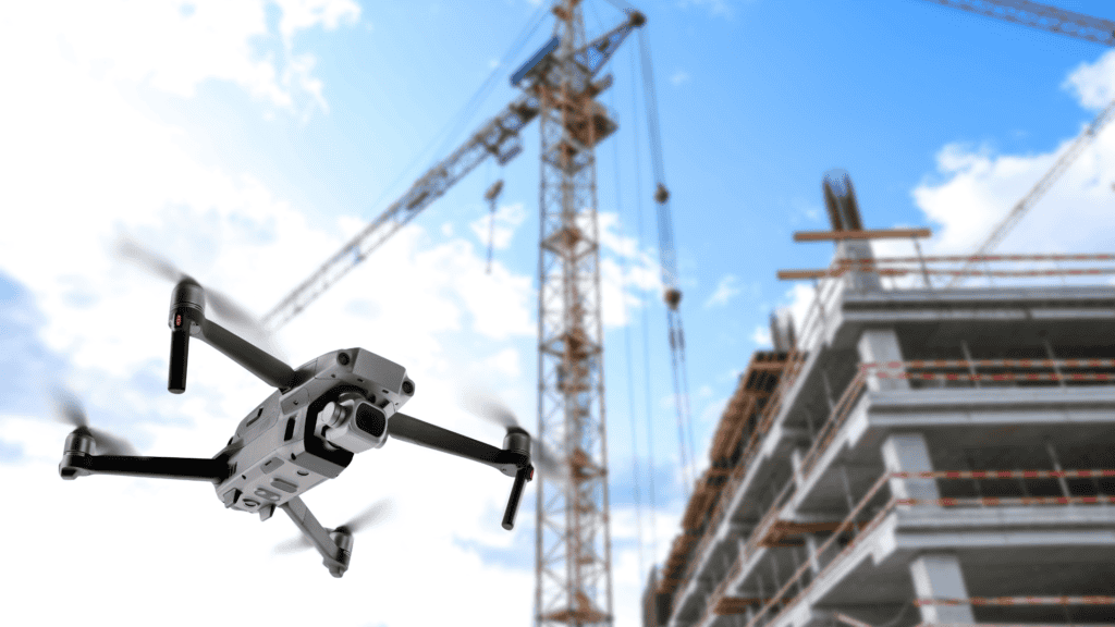
Drones are used in the construction industry to inspect and monitor construction sites. With their high-resolution cameras and sensors, drones can capture real-time images and data of the site, allowing engineers and architects to monitor progress, detect any safety hazards, and make timely decisions. Drones can also be used to survey the condition of buildings and infrastructure, detecting defects, cracks, and other potential problems that may not be visible from the ground.
Drones are revolutionizing the way we approach surveying, mapping, and inspection. They are providing more efficient, accurate, and cost-effective solutions than traditional methods, and their potential applications are endless. As technology continues to evolve, we can expect drones to play an increasingly important role in the built environment industry, improving productivity, efficiency, and safety.