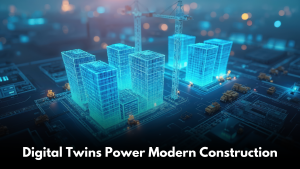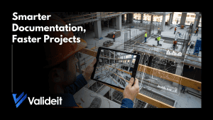
In the dynamic landscape of modern cities, the need for efficient and sustainable urban mobility solutions has never been more crucial. Enter Building Information Modeling (BIM) is a transformative digital tool revolutionizing urban mobility planning with its innovative capabilities and visionary approach. By seamlessly integrating BIM technology with transportation infrastructure design, cities can optimize their mobility networks, improve traffic flow, and enhance overall urban livability.
BIM serves as a virtual laboratory for urban mobility planners, enabling them to create detailed 3D models of roads, highways, bridges, and public transit systems. This comprehensive visualization empowers planners to simulate various scenarios, such as traffic patterns, pedestrian movement, and vehicle flow, leading to more informed design decisions. BIM‘s accuracy reduces errors, streamlines project execution, and ultimately results in transportation systems that are finely tuned for efficiency.
BIM‘s capabilities extend beyond individual transportation components. It enables the seamless integration of various modes of transport—buses, trains, trams, bicycles, and more—into a cohesive network. Planners can model intermodal transfer points, design user-friendly interfaces, and ensure smooth transitions between different modes of transportation. This holistic approach to mobility planning enhances convenience and encourages sustainable transportation choices.
In an era of limited resources, efficient resource allocation is essential. BIM allows planners to model and analyze the lifecycle costs of transport infrastructure projects. This insight helps cities optimize budget allocation, prioritize maintenance efforts, and ensure the long-term sustainability of their mobility networks.
Building Information Modeling (BIM) is reshaping the future of urban mobility planning. By harnessing its capabilities, cities can optimize their transportation networks, improve connectivity, and create sustainable mobility solutions. BIM‘s integration with real-time data, comprehensive visualization, and collaborative features empowers planners to design transportation systems that meet the evolving needs of urban populations.